NASA has unveiled a groundbreaking, compact lidar system named CASALS (Concurrent Artificially-intelligent Spectrometry Lidar System). This innovative technology is poised to fill critical gaps in 3D maps of Earth’s surface, promising unprecedented detail and continuous topographical imaging by merging artificial intelligence with unique optical capabilities.
Overcoming Limitations of Current Technologies
Existing space-based lidar systems typically scan Earth’s surface in narrow swaths, leaving significant unmeasured areas between these lines. These ‘blind spots’ hinder a comprehensive understanding of terrain and vegetation. CASALS is engineered to solve this problem. Instead of relying on mechanical mirror movements common in traditional systems, CASALS manipulates laser pulses by altering their wavelengths. This allows it to “draw” a continuous 3D strip of the surface beneath the aircraft, effectively eliminating gaps.
Key innovations driving CASALS include:
- Fast-pulsed, Tunable “Seed” Laser: Operating at a 1040-nanometer wavelength, this laser rapidly switches between 256 distinct wavelengths.
- Transmission Grating: A microscopic component with tiny protrusions that, through light diffraction, disperses each pulse at different angles according to its wavelength, forming a continuous scan.
- High-Efficiency Detector Array: Boasting a quantum efficiency (QE) of 80%, this array efficiently converts even faint light signals into electrical ones, crucial for measurements over dark surfaces or through dense vegetation.
Promising Trials and Future Prospects
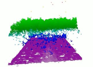
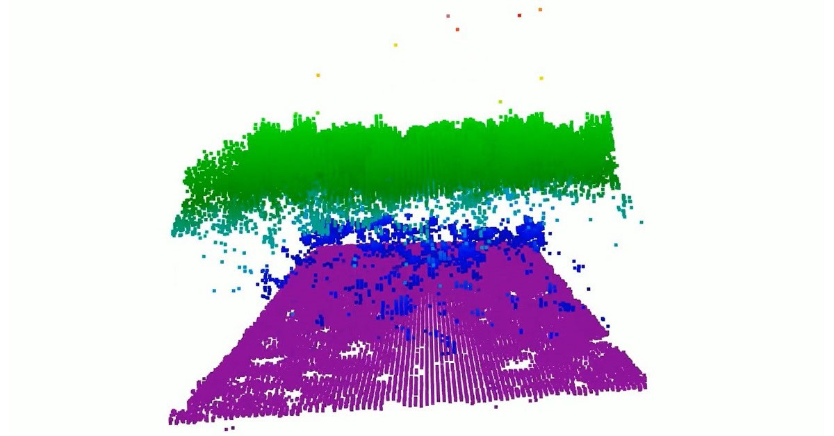
CASALS has already undergone successful ground-based testing. In November 2024, a prototype of the instrument made its inaugural flight aboard NASA’s B200 King Air aircraft. The results exceeded expectations, demonstrating the ability to distinguish individual tree branches and minor surface elevation changes with a 22-centimeter horizontal resolution. This level of detail allows for the visualization of exceptionally fine structures within vegetation and topography.
The next phase involves preparing CASALS for a space mission. The team plans to expand the scanning swath width and integrate onboard data processing software. If successful, CASALS will become the first spaceborne lidar capable of generating seamless 3D maps of Earth’s surface, providing scientists with a far more complete picture of our ever-changing planet.