NASA is set to transform how we map our planet’s surface with the development of the Concurrent Artificially-intelligent Spectrometry Lidar System (CASALS). This innovative instrument promises to eliminate the significant gaps left by current satellite-based lidar systems, enabling scientists to create unprecedentedly detailed, continuous 3D topographical maps of Earth’s terrain and ecosystems.
Bridging the Gaps with Smart Technology
Current spaceborne lidar instruments meticulously measure Earth’s surface by firing laser pulses in narrow lines. However, vast areas between these lines remain unmapped, representing millions of acres of land that go unmeasured. CASALS tackles this challenge head-on by integrating advanced machine learning with a compact lidar instrument. Instead of relying on bulky, mechanical steering systems, CASALS utilizes the physics of light itself. By rapidly cycling through 256 different wavelengths of laser light, each pulse is diffracted at a unique angle by a microscopic grating, effectively ‘sweeping’ a continuous swath of the ground below. This revolutionary, non-mechanical approach not only fills in the crucial gaps but also significantly reduces the instrument’s size, weight, and power requirements, making it more robust for the demanding environment of space.
Unprecedented Detail and Efficiency
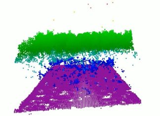
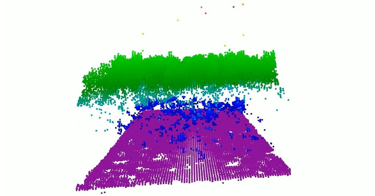
Beyond its novel light-steering mechanism, CASALS boasts a highly efficient detector array. With a Quantum Efficiency (QE) of 80%, it converts nearly all incoming light into usable electrical signals. This exceptional efficiency allows CASALS to detect weaker return signals, enabling it to gather valuable data from darker surfaces or penetrate denser vegetation. A successful airborne prototype of CASALS has already demonstrated its capabilities, capturing highly detailed imagery of tree canopy tops and subtle ground elevation changes during a test flight over Delaware’s Great Cypress Swamp. The instrument achieved a remarkable 22-centimeter horizontal resolution, distinguishing individual tree branches and fine topographic variations. While the team is focused on refining the technology for space deployment, including widening the instrument’s mapping swath and incorporating onboard data processing, the potential for a spaceborne lidar system that maps Earth’s features as continuous 3D swaths is immense, offering a more complete and comprehensive understanding of our dynamic planet.
Source: NASA