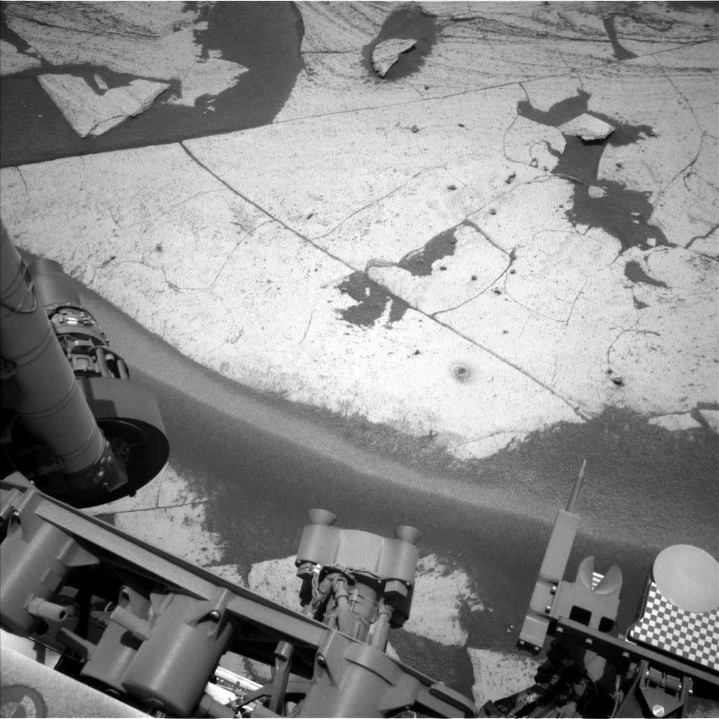
NASA’s Mars Science Laboratory rover, Curiosity, has concluded a week of intensive scientific operations (sols 5029-5035), returning to its onboard ‘laboratory’ for detailed analysis of collected samples. This includes examining a unique rock formation from the ‘Basque Lakes’ drill hole on the slopes of Mount Sharp (Aeolis Mons). The work with the CheMin and SAM instruments demands significant power but is crucial for understanding the Red Planet’s geological history.
Complex Sample Analysis Underway
Curiosity’s primary focus this week has been completing the analysis of a sample retrieved from the ‘Basque Lakes’ drill site. The CheMin (Chemistry and Mineralogy) instrument has been investigating the rock’s chemical composition and mineralogy, with data from CheMin forming the basis for the subsequent actions of the SAM (Sample Analysis at Mars) instrument. Specifically, SAM is utilizing its tunable laser spectrometer (TLS) to measure volatile compounds within the sample. These results will be meticulously studied to determine if a further step is required – a separate analysis using mass spectrometry.
Systematic Environmental Monitoring Continues
While its laboratory investigations require substantial energy, Curiosity has not halted its planned observations of the Martian environment. The Mastcam camera has captured 360-degree panoramic images, aiding scientists in better understanding the geological context of the sample collection site. More detailed close-ups of interesting structures near the workspace were also acquired, along with observations of the ‘Cordillera’ rock face using the ChemCam RMI camera. A series of photogrammetric observations by Mastcam and Navcam, spread throughout the sol, have helped study how the spectral characteristics of objects change with the angle of sunlight, a critical factor for image interpretation.
Furthermore, ChemCam has continued to gather data on the chemical composition of various materials within the workspace, including the interior of the ‘Basque Lakes’ drill hole, the ‘French Creek’ sand dunes, and incidental debris of unknown origin (‘Wooley’ and ‘Fireside’). Continuous monitoring of the atmosphere is being conducted by the REMS (Rover Environmental Monitoring Station), RAD (Radiation Assessment Detector), and DAN (Dynamic Albedo of Neutrons) instruments. The Navcam and Mastcam cameras are also tracking atmospheric dust levels, cloud activity, and dust devils.